What Are The 4 Types of Elevation Design?

What Are The 4 Types of Elevation Design?
Elevation design is the process of designing the exterior of a building or structure, including its façade, roof, and other visible features. The goal of elevation design is to create a visually appealing and functional exterior that complements the building’s overall architectural style and meets the needs of the people who will use the building.
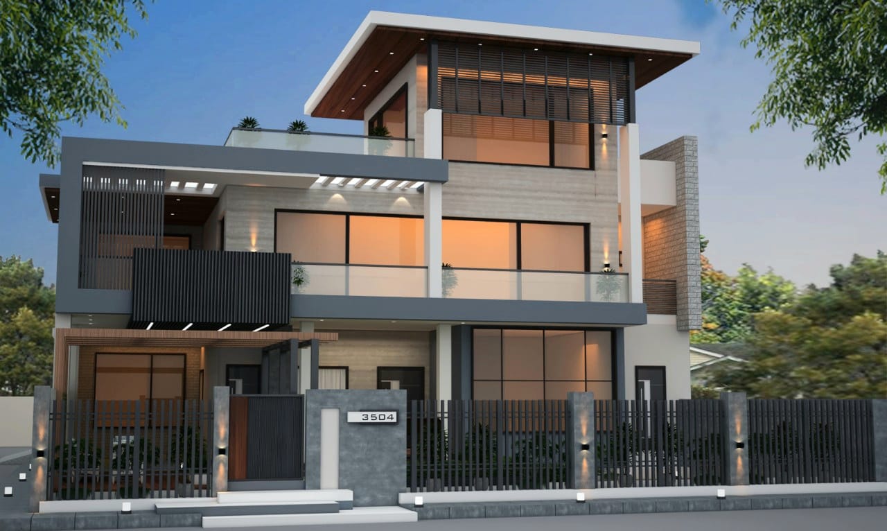
Elevation design includes various elements such as the choice of materials, colors, textures, patterns, and the arrangement of windows, doors, and other features on the building’s façade. The design process typically involves working closely with architects, engineers, and other professionals to ensure that the building’s exterior is both aesthetically pleasing and structurally sound.
4 Types of Elevation:
Relief Elevation: Relief elevation is often used in cartography to create topographical maps that show a landscape’s physical features. Contour lines on a topographical map represent the elevation of the land at a given interval, with closely spaced contour lines indicating steeper slopes and widely spaced contour lines indicating flatter terrain. Relief and elevation can be used to identify critical physical features such as mountains, valleys, and rivers.
Height Elevation: Height elevation is commonly used in navigation, engineering, and construction to determine the height of structures, obstacles, or other features. This type of elevation is often measured using specialized equipment such as surveying instruments or laser rangefinders. Height and elevation can also determine an aircraft’s or other vehicle’s elevation, which is essential for aviation safety.
Absolute Elevation: Absolute elevation is used in various fields, including aviation, surveying, and geology. In aviation, absolute elevation is used to determine the altitude of an aircraft above sea level, which is essential for navigation and safety. In surveying, absolute elevation creates accurate maps and determines property boundaries. In geology, absolute elevation is used to study the Earth’s crust and identify geological features such as mountains, faults, and sedimentary layers.
Relative Elevation: Relative elevation is often used in geology to determine the height of rock formations or other features relative to the surrounding terrain. This type of elevation can also be used in construction or landscaping to determine the best placement of structures or features in the surrounding terrain. For example, a retaining wall may be built at a higher elevation than the surrounding ground to prevent soil erosion or to provide a level surface for a garden or patio.


