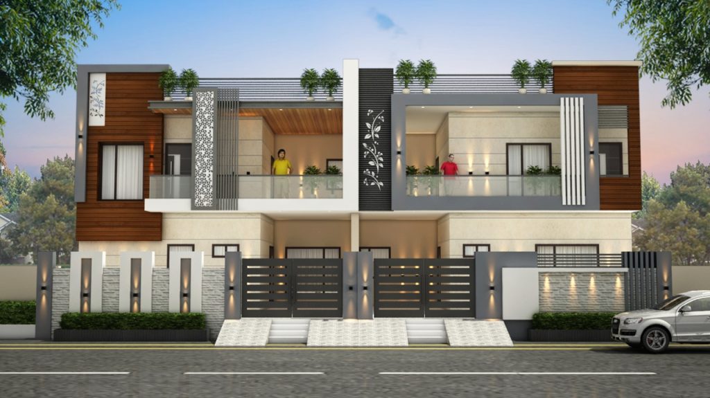
How Much Does 3D Elevation Cost?

How Much Does 3D Elevation Cost?
The cost of 3D elevation data can vary greatly depending on the data source, resolution, area of coverage, and specific method used for data acquisition. Here are a few standard methods for acquiring 3D elevation data and their associated costs:
LiDAR (light detection and ranging): LiDAR is a popular method for obtaining high-resolution and accurate elevation data. The cost of LiDAR data can range from $100 to $2000 per square kilometer, depending on data resolution, terrain complexity, and project size.
Photogrammetry: This technique uses aerial or satellite imagery to create 3D elevation models. The cost of photogrammetry can range from $20 to $500 per square kilometer, depending on the resolution and the specific imagery source.
Satellite-based Digital Elevation Models (DEMs): These datasets, like SRTM (Shuttle Radar Topography Mission) or ASTER (Advanced Spaceborne Thermal Emission and Reflection Radiometer), provide global coverage at lower resolutions compared to LiDAR or photogrammetry. Some datasets are free, while others may require a subscription or purchase.
Drone-based data acquisition: Drones equipped with LiDAR or cameras can capture elevation data for smaller areas. The cost of drone-based data acquisition can range from $100 to $1000 per square kilometer, depending on the equipment used and the project’s complexity.
Remember that these are rough estimates, and actual costs can vary depending on project size, location, data quality requirements, and any additional processing or analysis needed. Obtaining quotes from multiple data providers and comparing their offerings is essential to determining the best solution for your needs.
How many kinds of 3D elevation
There are several types of 3D elevation designs, each with its own unique characteristics and purposes. Here are some of the most common types:
Residential 3D elevation: These types of 3D elevations are used in residential buildings, such as houses and apartments. They typically showcase the exterior of the building, including the walls, windows, doors, and roof.
Commercial 3D elevation: Commercial 3D elevations are used for commercial buildings, such as office buildings, shopping malls, and restaurants. They typically feature a more intricate and detailed design, as they are often used to attract customers and clients.
Interior 3D elevation: Interior 3D elevations are used to showcase the interior of a building, such as a house or an office. They showcase the layout and design of the interior space, including the walls, floors, ceilings, and furniture.
Landscape 3D elevation: These types of 3D elevations are used to showcase the outdoor landscaping and features of a property, such as gardens, pathways, and water features.
Industrial 3D elevation: Industrial 3D elevations are used to showcase industrial buildings, such as factories and warehouses. They typically feature a more rugged and functional design, with a focus on practicality and functionality.
Renovation 3D elevation: These types of 3D elevations are used to showcase the proposed changes and renovations to an existing building or space. They can be used to help visualize the changes before construction begins.
These are just a few of the many types of 3D elevations that exist. Each type has its own unique features and characteristics, and they can be customized to meet the specific needs and requirements of each project.


